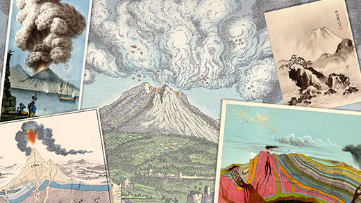
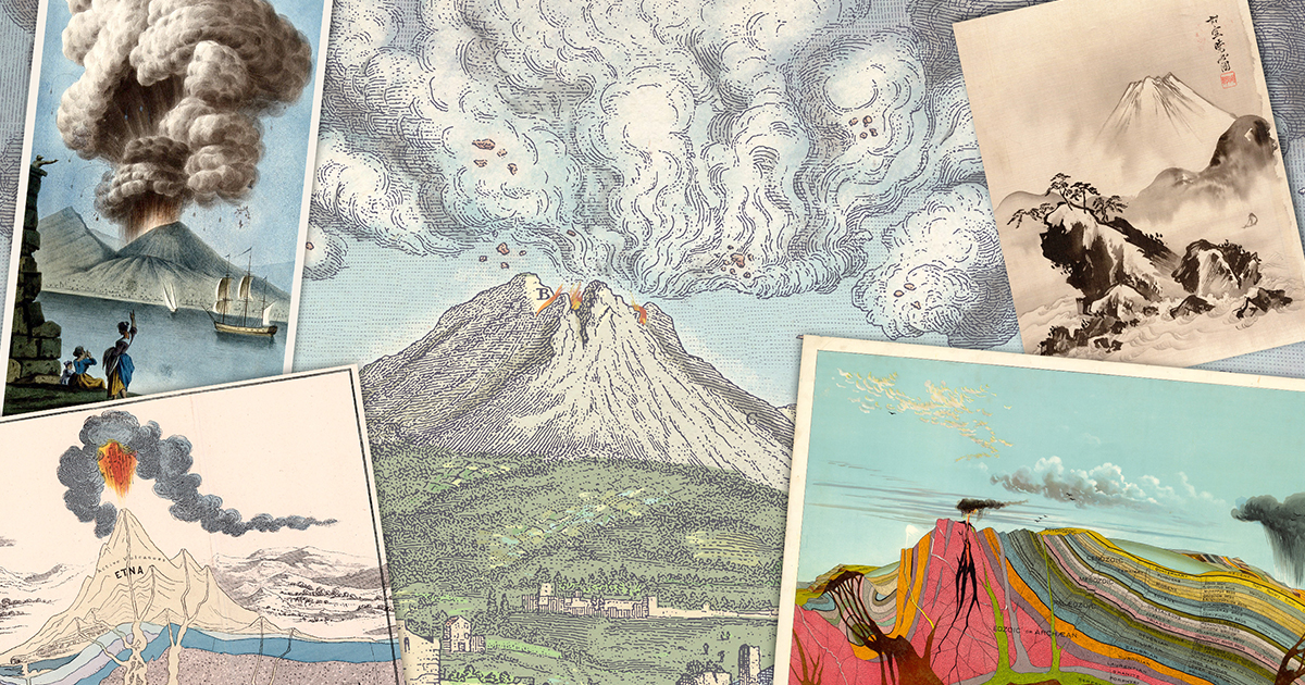
10 Things You Need to Know About the Future of Volcanic Eruption Forecasting
Imagine being able to predict when a volcano will blow its top with the same reliability as tomorrow’s rain forecast. The catastrophic eruption of Mount Pinatubo in 1991, which killed hundreds and reshaped an entire landscape, serves as a stark reminder of how far we still are from that goal. Yet, advances in technology and science are bringing us closer every day. In this listicle, we explore the current state, challenges, and breakthroughs in volcanic eruption forecasting.
1. The Holy Grail: Predicting the Exact Moment
Forecasting volcanic eruptions with the precision of weather forecasts remains the ultimate ambition. While we can often detect months of unrest—like increased seismicity, ground swelling, and gas emissions—pinpointing the exact day and hour often eludes scientists. For Pinatubo, monitoring stations gave weeks of warning, but the final explosion was still a surprise in its intensity. Today, researchers are integrating real-time data from multiple sources—seismic networks, GPS, and satellite imagery—to feed machine learning models that may one day crack the code.
2. Seismic Signals: The Volcano’s Heartbeat
Volcanoes rarely erupt without a symphony of earthquakes. Magma moving upward fractures rock, generating distinct seismic tremors. Networks of seismometers can detect these signals and even locate the magma’s path. For example, at Mount St. Helens in the 2004–2008 dome-building phase, hundreds of small quakes preceded each growth pulse. However, not all volcanic earthquakes lead to eruptions—some are false alarms. Distinguishing between magmatic intrusion and mere tectonic stress remains a key challenge.
3. Ground Deformation: The Bulging Earth
As magma accumulates beneath a volcano, the ground above often swells like a blister. Measurements with tiltmeters, GPS stations, and satellite radar (InSAR) can detect even centimeters of uplift. At Kīlauea in Hawaii, such deformation predicted the 2018 lower East Rift Zone eruption months in advance. Yet, deformation patterns vary: Some volcanoes inflate without erupting, while others deflate without warning. Interpreting these signals requires understanding each volcano’s unique plumbing.
4. Gas Emissions: Chemical Clues
Escaping gases from fumaroles or summit craters offer a chemical fingerprint of magma’s depth and composition. Changes in the ratio of sulfur dioxide (SO₂) to carbon dioxide (CO₂) often precede eruptions. For instance, at Mount Merapi in Indonesia, rising SO₂ levels signaled the approach of the 2010 deadly eruption. However, measuring volcanic gas remotely—especially from dangerous peaks—is tough. Unmanned aerial vehicles (UAVs) and ground-based spectrometers are now expanding our monitoring reach.
5. The Pinatubo Lesson: Unprecedented Monitoring
The 1991 Pinatubo eruption was a turning point. It was one of the first large eruptions to be monitored in real time by a modern network. Scientists correctly forecast a major explosive event, leading to the evacuation of over 200,000 people and saving countless lives. But the forecast was only for “probable imminent eruption,” not a specific time or magnitude. The aftermath drilled home the need for more robust models and highlighted how even a successful warning can still result in tragic loss when the volcano behaves unexpectedly.
6. Volcano Alert Systems: Color-Coded Warnings
Volcano observatories worldwide use alert levels—from Green (normal) to Red (eruption imminent or in progress). These systems integrate all monitoring data to provide a ready-made guide for emergency managers. However, moving from Yellow (unrest) to Orange (escalating) is often subjective and can lead to either alarm fatigue or missed warnings. Improving the objectivity of these levels through probabilistic forecasting is an active area of research.
7. Machine Learning and AI: The New Frontier
With mountains of data pouring in daily, artificial intelligence is being trained to spot patterns that human eyes miss. Neural networks can analyze seismic waveforms, gas plumes, and deformation time series to distinguish pre-eruptive behavior from background noise. Researchers at the University of Bristol have developed algorithms that correctly predicted the 2018 eruption of Sierra Negra in the Galápagos. Yet, these models require extensive training data from historic eruptions—data that is scarce for many volcanoes.
8. Satellite Eyes: Watching from Space
Satellites equipped with thermal sensors, radar, and gas detectors can monitor volcanoes that are too remote or dangerous to visit. The European Space Agency’s Sentinel-1 and NASA’s ASTER have tracked ground deformation, heat anomalies, and ash emissions in near real-time. In 2021, satellite data helped forecast the eruption of La Soufrière in St. Vincent, giving just enough time for evacuations. However, cloud cover and orbital revisit times can still cause gaps.
9. The Challenge of Unusual Volcanoes
Not all volcanoes behave alike. Some, like those in the Ring of Fire, are explosive; others, like Hawaiian shields, produce effusive lava flows. Deep-seated eruptions—such as those from submarine volcanoes—are notoriously difficult to forecast. Moreover, caldera systems (e.g., Yellowstone) can have massive but rare eruptions, making historical data sparse. Each volcano requires a tailor-made forecasting approach, which complicates a universal “weather-like” prediction system.
10. The Road Ahead: Integrative and Global Efforts
To achieve weather-like forecasting, the scientific community is pushing for an integrated global volcano monitoring network. Initiatives like the Global Volcano Model (GVM) and the WOVOdat database aim to centralize data and improve models. Advances in real-time telemetry, machine learning, and citizen science (e.g., through smartphone seismic networks) hold promise. While we may never predict every eruption down to the minute, the next decade could bring forecasts with two- to three-day precision—a huge leap from today.
Conclusion: The dream of forecasting volcanic eruptions with the same reliability as weather forecasts is still a work in progress. Each new technology—from satellite radar to AI neural networks—moves us closer to that reality. But volcanoes are complex, and no two are exactly alike. The legacy of Pinatubo is not that we can predict perfectly, but that we can save lives when we act on the warnings we have, even with uncertainty. As data streams grow and algorithms sharpen, the day may soon come when a “volcano forecast” becomes as routine as checking your weather app.
Related Articles
- How to Leverage OpenAI Codex in Your Browser with the New Chrome Extension
- Apple Quietly Acquires Color.io, Hires Solo Creator Behind Popular Grading Tool
- 10 Crucial Insights on Local-First Web Architecture (2026 Edition)
- Mastering Intelligent Agents: Your Guide to the Microsoft Agent Framework in .NET
- From Pilot to Production: A Step-by-Step Guide to Scaling AI in Your Enterprise
- 7 Game-Changing Features of Ptyxis: The Modern Ubuntu Default Terminal
- Microsoft Agent Framework 1.0 Goes Live: .NET Developers Gain AI Autonomy Tools
- Predicting Volcanic Eruptions: Can We Ever Forecast Them Like the Weather?